No products
Product successfully added to your shopping cart
There are 0 items in your cart. There is 1 item in your cart.
 View larger


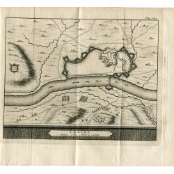
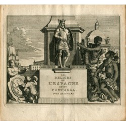
Plan of Lleida engraved by Pieter van der Aa in 1707
1365
Normal (with signs of normal use)
Reviews
No customer reviews for the moment.

30 other products in the same category:
-

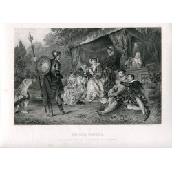
Classical...
120 €
-
Character....
110 €
-
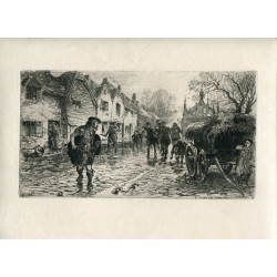
The Sutling...
50 €
-

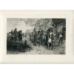
The...
70 €
-

Mustapha...
60 €
-

The Storm...
40 €
-
The Shrine...
40 €
-
The Nine...
40 €
-
The...
150 €
-
L'Appel...
60 €
-
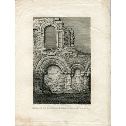
Remains of...
50 €
-
Lidford,...
50 €
-
Remains of...
50 €
-
Interior of...
50 €
-

Greenock...
60 €
-

Domestic...
70 €
-

Engraving...
90 €
-

Native...
40 €
-

Chevy Chace...
40 €
-

The...
40 €
-

For God and...
40 €
-
Court of...
35 €
-
Alphonsus I...
50 €
-

Au tres...
60 €
-

Cathedral...
40 €
-
On Stone by...
45 €
-
Morning on...
35 €
-
The silver...
50 €
-
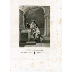
Offering to...
60 €
-
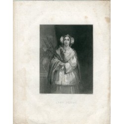
Lady Percy...
35 €